Cascades Range, PQ 
Select a photograph to view a photo gallery

Photo Gallery
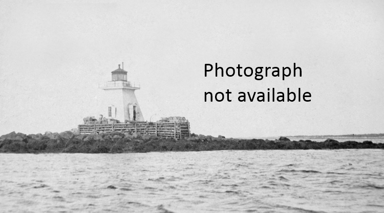
Photo Gallery
Photo Gallery
Shortly after the unification of Lower and Upper Canada in 1841, the Board of Public Works decided to build the twenty-four-kilometre-long Beauharnois Canal along the south shore of the river to bypass the three sets of rapids. This canal was finished in 1845 and served for over fifty years until a canal with a greater depth was needed. As this could most easily be accomplished by a canal along the north shore of the river, work on the Soulanges Canal, which is twenty-three kilometres long, has a depth of 4.3 metres, and runs between Pointe-des-Cascades on Lake St. Louis and Coteau-Landing on Lake St. Francis, began in 1892 and was completed in 1899 at a cost of $4,251,158.
The Soulanges Canal was equipped with five locks, each 280 feet long and 46 feet wide, to raise and lower vessels a total of twenty-five metres, and the canal was one of eight that helped link the Great Lakes with the Atlantic. A redbrick, castle-like power house was built eight kilometres from Coteau Landing. At this point, the Grease River passes under the canal through a ten-foot culvert and empties into the St. Lawrence River. This flow of water was used to power two pairs of Victor turbines to generate electricity for powering the locks and lighting the canal so it could operate day and night. The north bank of the canal and piers at the upper entrance to the canal were lined by bright electric arc lights, suspended from white poles at intervals of 400 to 480 feet.
The Department of Railways and Canals of Canada awarded a contract for the construction and installation of range lights for the Soulanges Canal on March 27, 1900 to Farand et Delorme of Montreal. Before permanent range lights were erected, temporary lights consisting of locomotive headlights mounted atop skeleton-framed towers were used. On September 12, 1900, Thomas Monro, the civil engineer in charge of the canal, reported: The fixed red light is working well, and it clearly indicates the course to follow. The range lights were installed in pairs at each end of the canal and allowed the mariner to determine the correct approach to the canal entrances by superimposing a front and rear light.
In 1903, the Department of Marine announced the establishment of permanent lights at the canals lower entrance at Pointe-des-Cascades in the form of a circular tower on the eastern extremity of the north pier and a taller but similar tower on the north bank of the canal, 1,826 feet away.
In 1916, the Department of Marine established another set of range lights, known as Cascades Point Range (Pointe-des-Cascades Range) to help mariners arrive at the lower entrance to the canal. With the establishment of this range, the ship channel through Lake St. Louis would be marked entirely independent of floating aids. The following Notice to Mariners provided information on the new lights:
About July 20, 1916, Cascades Range Lights, each fixed white, catoptric, visible 5 miles in the line of range, will be established northwestward of Cascades Point. The lights will be exhibited from square, white, wooden towers, 27 feet high.William Bradley was hired as the first keeper of Cascades Range at an annual salary of $185.The front light will be 1,280 yards 335° 30' from the church at Cascades Point, about 80 feet southward of the public road, and 50 feet back from the waters edge; height above summer level of the river 32 feet.
The rear light will be 2,565 feet 273° from the front light; height above summer level of the river 87 feet.
The lights in one, bearing 273° will lead up from the intersection of their alignment with that of the Melocheville Range Lights to the intersection of their alignment with that of the Soulanges Canal Lower Entrance Range Lights.
When the above range lights are put in operation Red Gas-buoy No. 102S, moored about 1.44 miles below Soulanges Canal Lower Entrance Front Range Lighthouse, will be withdrawn, without further notice, and replaced by a red spar buoy.
With the completion of the St. Lawrence Seaway in 1959, the Soulanges Canal fell into disuse, but there are reportedly plans to restore the canal and open it as a recreational waterway. Two locks were added to the Beauharnois Canal, which had been rebuilt farther south in 1929 1932 as part of a hydroelectric project, to allow it to become part of the St. Lawrence Seaway.
Keepers: William Bradley (1916 at least 1923).
References