Île Plate, PQ
Select a photograph to view a photo gallery

Photo Gallery
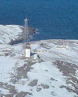
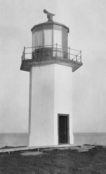


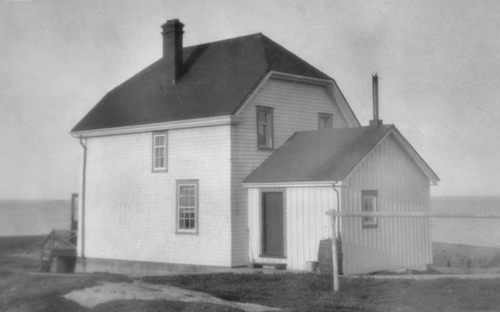
Photo Gallery
Photo Gallery
|
After visiting potential sites for lighthouses to mark the Gulf of St. Lawrence and the Strait of Belle Isle, John Page, Chief Engineer of Public Works for the Province of Canada, submitted a detailed report in 1860 listing the comparative advantages of the various locations. This report contained the following information on Great Mecatina Island:
This island is on the coast of Labrador, 73 ½ miles in a south-westerly direction from Greenly Island, at the Western entrance of the strait of Belle Isle, it stands out fully 2 ½ miles from the mainland, the intervening space being known as Mecattina Harbor.The Island is large, completely bare, and not less than 500 feet high in the centre, it consists of granite traversed with deep chasms and trap dykes, which, together with its relative position to the mainland, presents an appearance so remarkable, as to be readily distinguished from other parts of the coast.
On the east and south, it is surrounded with a number of small islands and rocks, the principal of which are Treble, Murr islets and rocks and Flat Island. These forming the chief dangers in this vicinity, their relative positions were carefully examined, and the place subsequently fixed upon as the most advantageous site for a light house was on Flat Island, which lies about 3 miles seaward of the south point of great Mecattina Island. It is about three quarter of a mile diameter, including a deep indent on the east and west sides, which form well-sheltered coves easy of access to small vessels, especially the one which opens to the N. West.
The island, like all others on this part of the coast, is of a granite character, the rock generally has a reddish tinge, except along the side of a gorge, that runs in an east and west direction through the island, where it is of a light grey color.
It is completely bare, with the exception of a few sheltered places, which are covered with short coarse grass. Several fresh water ponds were observed, generally of small area but two of them were found to be of considerable depth, and appeared as if they contained water throughout the year.
Salt water sand is said to be abundant at Sandy Cove in Meccatina Harbor.
The place selected as the most suitable for the erection of the necessary buildings is the highest level spot on the S. W. side of the island, 85 feet over the level of the sea, 140 feet South of the gorge above referred to, 240 feet north and 750 feet in a northeasterly direction from water mark.
A Light on this island would possess the advantage of being nearly midway between the western entrance of the Strait of Belle Isle, and the light station proposed to be established in the vicinity of Cape Whittle, and would stand about 5 miles to the northward of a line between these points.
It is believed a Tower 50 feet in height, with a second order light, would be sufficient for every purpose.
|
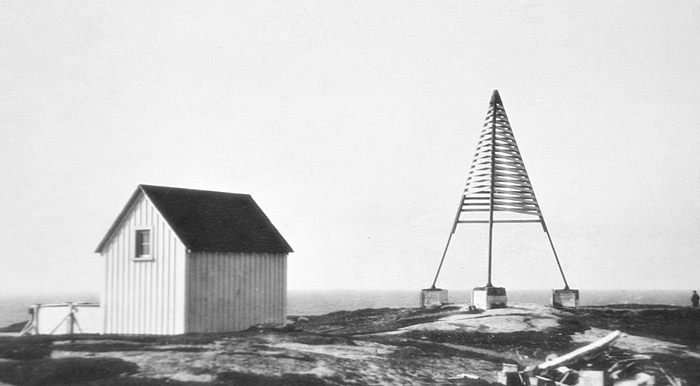
Work on a reinforced-concrete tower, keepers dwelling, oil shed, boathouse, and a road was begun in 1912 by day labour under the direction D. Bilodeau, and the station was completed the following year. A revolving third-order lens was installed inside the white, hexagonal towers red lantern room to produce a group of three white flashes every fifteen seconds. St. Mary Island was given a similar, yet distinctive, characteristic of two white flashes every fifteen seconds.
Oct. Dubois was appointed the first head keeper of Flat Island Lighthouse, but his service lasted just a few months. Xavier McKinnon was the longest-serving keeper of the lighthouse, having been in charge of the station from 1930 until 1956.
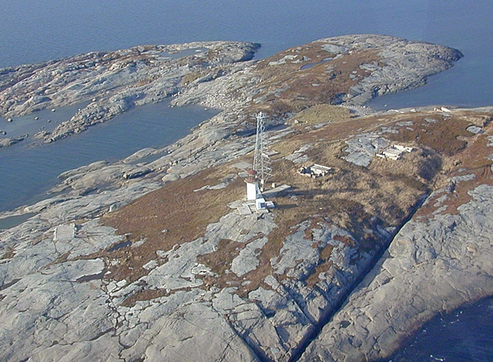
In 1979, the light atop the concrete tower was discontinued, and a replacement light was established on a skeletal tower. The keepers dwelling and outbuildings have been demolished, leaving just the old concrete tower and an active skeletal tower on the island.
Head Keepers: Oct. Dubois (1913), A. McKennon (1914 1916), D. Renaud (1915 1916), E. Carbonneau (1916 1930), Xavier McKinnon (1930 1956), Lionel McKinnon (1956 1970), Albert Beck (1970 1978).
References
