Cattle Point, WA 

Select a photograph to view a photo gallery
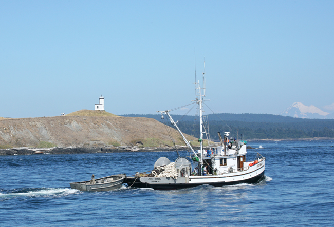

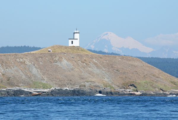
Photo Gallery

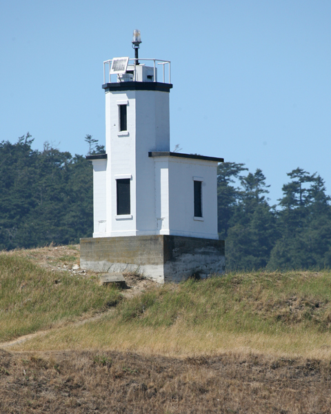


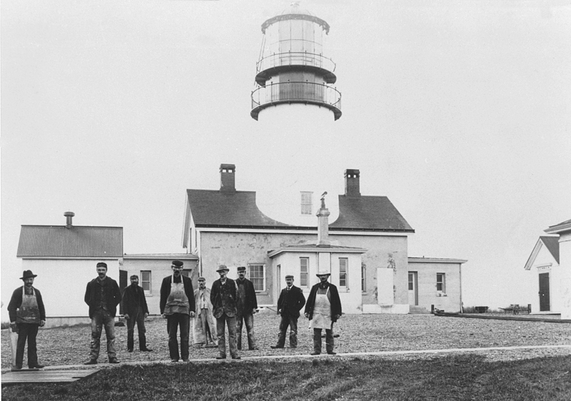
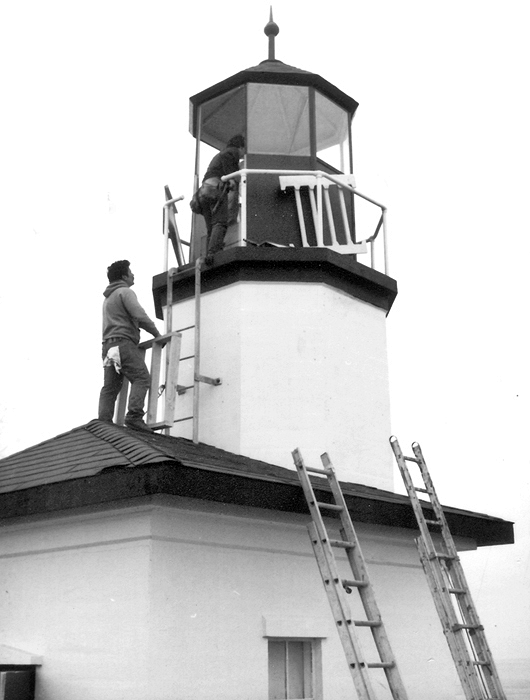


Photo Gallery
Photo Gallery
|
Both countries claimed the islands and had residents living on San Juan Island. The dispute came to a head on June 15, 1859, when Lyman Cutlar, an American, shot and killed a Hudsons Bay Company pig, which was rooting in his garden. When British authorities threatened to arrest Cutlar and evict his countrymen, the Ninth U.S. Infantry, under the command of Captain George E. Pickett, established a camp near the southern end of San Juan Island. In response, British warships were dispatched to the island. When Rear Admiral R. Lambert Baynes, commander of British naval forces in the east Pacific, arrived on the scene, he wisely declared that he would not involve two great nations in a war over a squabble about a pig.
The two sides agreed to a joint military occupation of the islands until a settlement could be reached. The Americans remained on the southern end of San Juan Island in American Camp, and on March 21, 1860, British Royal Marines established what is now known as English Camp at Garrison Bay on the islands northwest coast. The sides remained deadlocked until the two countries signed the Treaty of Washington in 1871 and decided to have Kaiser Wilhelm I of Germany settle the border dispute. Kaiser Wilhelm referred the matter to a three-man arbitration commission, which roughly a year later ruled in favor of the Americans, and thus the final boundary between the United States and Canada was set.
The first navigational aid on Cattle Point was a lens lantern was first lit on October 1, 1888. George Jakle, the son of a soldier who had been stationed at American Camp and had remained on the island raising sheep, was paid to maintain the light. Jakle would tend the light each day and fill the lanterns reservoir each week, using kerosene from five-gallon barrels that were offloaded at nearby Griffin Bay every few months by a lighthouse tender.
The Navy established a radio compass station at Cattle Point in 1921, and sailors stationed there took over maintenance of the light. Using bearings from stations at Cattle Point, New Dungeness Spit, and Smith Island, ships sailing through the Strait of San Juan de Fuca could pinpoint their location even in dense fog.
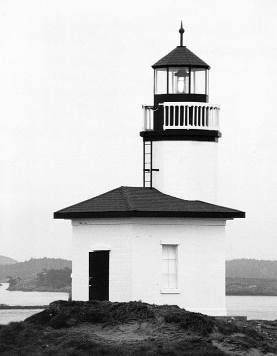
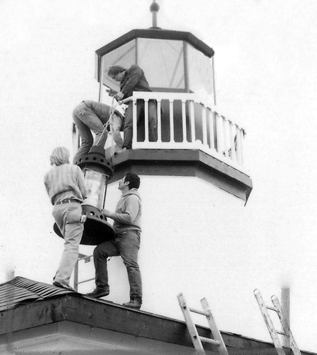
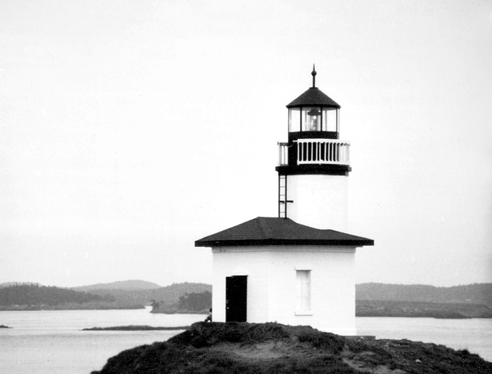
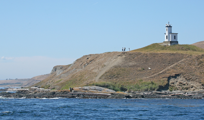
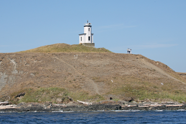
The modern thirty-four-foot, octagonal, concrete tower on Cattle Point was erected in 1935, the year the Navy closed the compass station. The lighthouse received a temporary makeover in 1984, when it was used as a backdrop for an Exxon television commercial. The tower was outfitted with a faux lantern room, a railing, a temporary lantern, and a hipped roof for the filming, confusing many a lighthouse buff who saw the commercial.
The lighthouse is located adjacent to the Cattle Point Natural Resources Conservation Area. Parking is available near a picnic shelter housed in an old powerhouse, leftover from the Naval Radio Compass Station, and trails lead from the conservation areas shelter to the lighthouse.
Photo Gallery:
1
2
3
References
