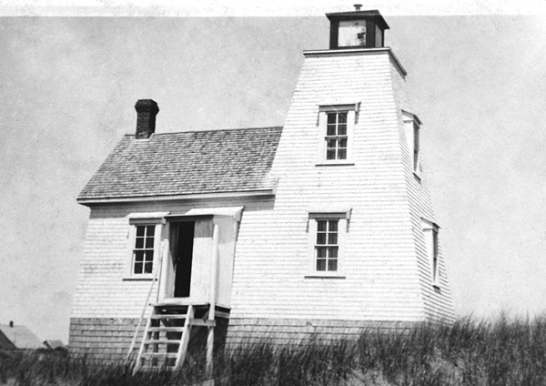
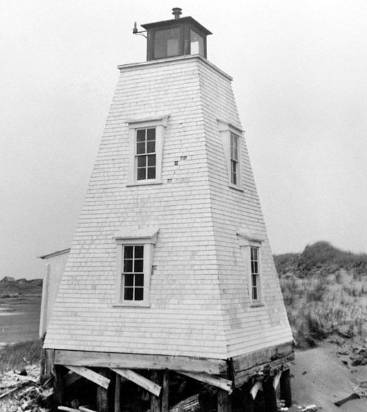
Little Channel Range Rear, PE 


Select a photograph to view a photo gallery
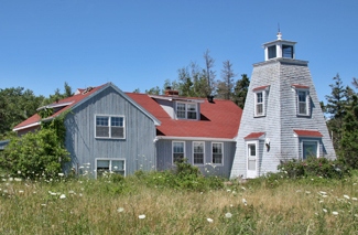


Photo Gallery

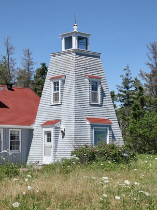
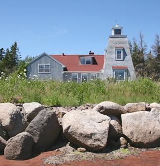
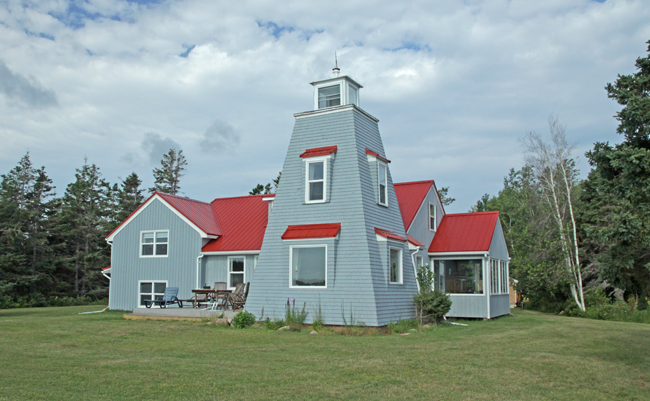


Photo Gallery
Photo Gallery
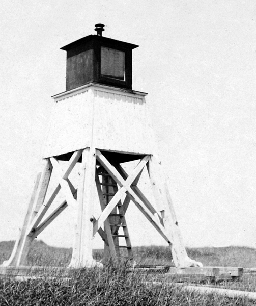
In 1874, a year after Prince Edward Island entered Confederation, the General Superintendent of Lighthouses toured the island and described the Little Channel Range as being "of the most temporary description." A small tower and a companion range light on a moveable frame were recommended for the station along with a dwelling and an oil store.
|
William Mitchell, agent of the Department of Marine and Fisheries for Prince Edward Island, visited the station on July 26, 1878 and noted that the lights, which consisted of two circular-burners, with twenty-inch reflectors, were in good order.
A new block or foundation was provided for the front range light in 1885 and again in 1928.
Upon the death of Ernest A. Hardy in May 1946, Everett L. Hardy was appointed keeper of the lights and served for a year until the lights were made unwatched in May 1947. Everett Hardy was subsequently paid $15 each year to light the range at the beginning of the season and extinguish it at the close. Three generations of the Hardy family served as the only keepers of the range lights, which were often called the Hardy Channel Range.
By 1965, the foundation of the rear range had been undermined, and the wooden tower was in poor condition.
The Little Channel Range Lights were deactivated in 1969, and the rear tower was subsequently relocated and incorporated into a dwelling near Freeland where it is roughly 6.4 km (4 miles) from its original location.
The lighthouse and attached dwelling were placed on the market around 2008 and remained unsold as of 2013. In early 2013, the asking price was dropped to $199,900 and then to $129,000 in 2014. The residence at that time was a bit dilapidated, but given its stunning location, it was obvious that a caring owner could soon turn it into a real gem. This did soon happen and now visitors can get the chance to spend the night at the lighthouse, as the property became available as a vacation rental known as Hardys Channel Lighthouse Retreat.
Keepers: William Hardy, Jr. (1874 1924), Ernest A. Hardy (1924 1946), Everett L. Hardy (1946 1947).
References
