St. Peters Harbour, PE 

Select a photograph to view a photo gallery

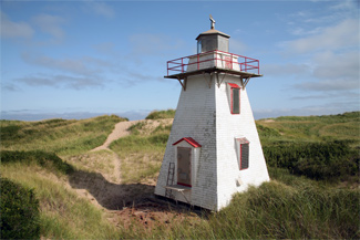
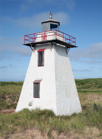
Photo Gallery
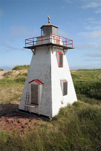


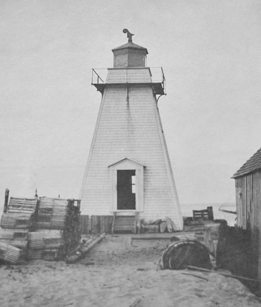
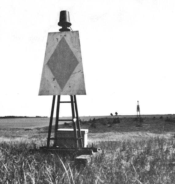
Photo Gallery
Photo Gallery
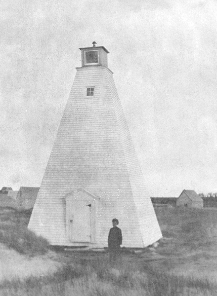
After Parliament made an appropriation of $1,600 for range towers at the entrance of St. Peters Harbour, tenders were invited for their construction, and a contract for the sum of $550 was awarded to James Barclay of Ellerslie. The towers were completed in 1878 at a total cost of $1,031.12.
In 1888, the Annual Report of the Department of Marine and Fisheries records: A new inner range tower erected and an addition of ten feet made to the height of the old tower. The two towers were originally placed on the breakwater, but in 1896 the back range tower was moved north-westwardly along the flat sand beach, while the front range light was relocated 5.5 metres (18 feet) south-westwardly from the outer end of the breakwater. After the moves, which were performed by a Mr. Sennott at a cost of $70, the rear range light stood 444 metres (1,456 feet) southwest of the front light.
In the early 1900s the lights were relocated a couple of times, and a set of temporary pole lights were even put in use in 1921.
Eldon Drake, a World War II veteran and the last keeper of the range lights, became caretaker of the lights when they were electrified in 1963. This change saw Keeper Drakes annual salary fall from $490 to $150.
In 1965, two pyramidal skeleton structures were serving as range lights at the harbour entrance while St. Peters Harbour Lighthouse was situated a few hundred metres farther west. St. Peters Harbour Lighthouse was discontinued in the spring of 2008. The range lights at the harbour entrance have also been discontinued, and several lighted buoys now mark the harbour.
In 2017, St. Peters Harbour Lighthouse was transferred to St. Peters Harbour Lighthouse Society under the Heritage Lighthouse Protection Act.
Keepers: Martin McInnis (1868 1869), William McGrath (1874 1900), Albert Anderson (1900 1912), James F. McGrath (1912 1931), Stanis LaPerre (1931), William Geldert (1931 1955), Eldon Wilson Drake (1955 1963).
References
