Boyer Bluff, WI 
Select a photograph to view a photo gallery
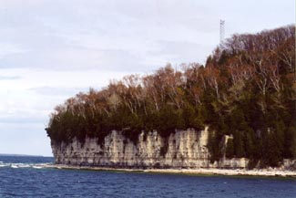

Photo Gallery

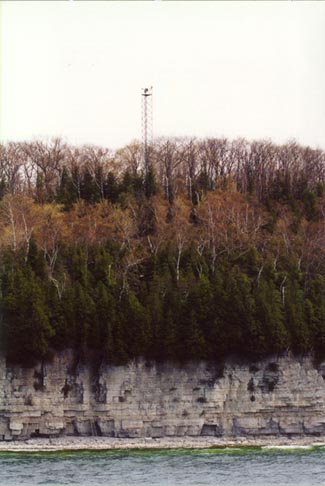
Photo Gallery
Photo Gallery
In 2012, the light produced a white flash every six seconds, had a focal plane of 220 feet, and was located atop a sixty-seven-foot-tall tower.