L'Ardoise Harbor Rear, NS 

Select a photograph to view a photo gallery
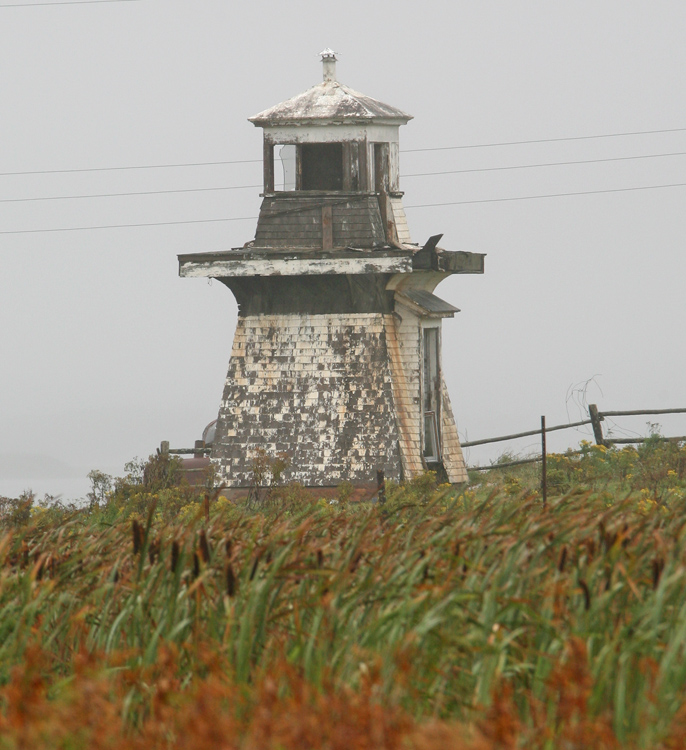
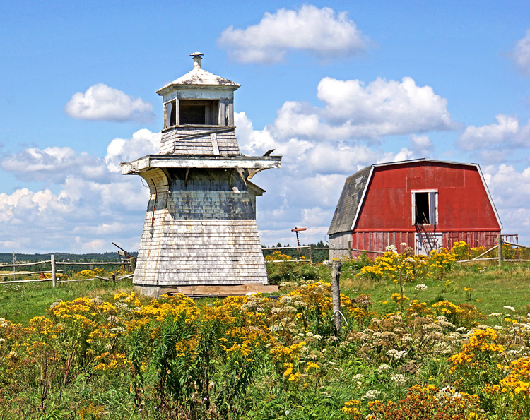
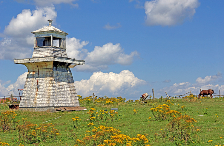
Photo Gallery


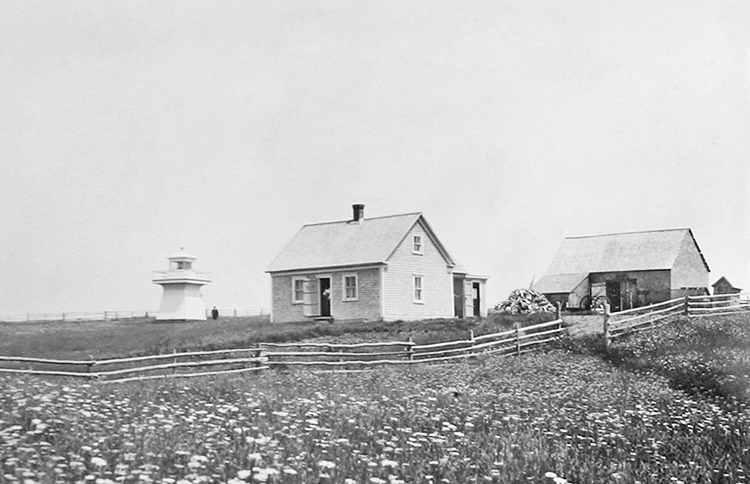
Photo Gallery
Photo Gallery
|
The 1861 census shows that there were 1,395 people living in LArdoise and the surrounding locales that included West LArdoise, LArdoise Highlands, Lower LArdoise, Rockdale, Gracieville, and Point Michaud. Of these, there were 264 fishermen and 238 farmers. In 1876-1877, a 400-foot-long breakwater was built off Martin Point at Lower LArdoise on the east side of St. Peters Bay to provide shelter for fishing vessels. This breakwater was almost entirely destroyed in 1883, and it wasnt until 1893 that a replacement was completed. The new work consisted of a timber core that was 400 feet long, 20 feet wide, and rose one foot above high water. Large stones were placed over the timber core, and the intervening spaces were filled with cement.
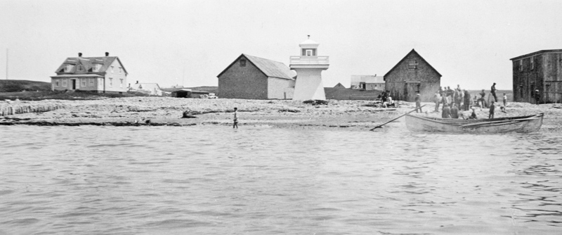
In 1909, L. Mury, of West Arichat, Nova Scotia, built two twenty-two-foot-tall lighthouses under contract at a cost of $1,340 to mark the entrance to the protected anchorage at Lower LArdoise. The twin towers were square in plan, with sloping sides, and were topped by square, wooden lanterns. Sixth-order, 270° Fresnel lenses were used in the lantern rooms with duplex lamps to produce fixed red lights.
An official Light List for 1920 has the following description of L'Ardoise Range Lights:
The front light, fixed red, 20 feet, visible 6 miles, is shown from a white square wooden tower with sloping sides and square lantern, erected on the beach 300 yards northward of Martin Point.The rear light, fixed red, 52 feet above high water, visible 8 miles, is shown from a similar tower, situated 300 yards, 43°, from the front light.
These lights in line, bearing 43°, lead to the anchorage, passing about 100 yards westward of the breakwater extending from Martin Point.
|
The LArdoise area lost a lot of residents to the coal mines near Sydney that offered higher wages than could be found in the small villages. Today, the population of lArdoise is around 500.
Keepers
References