Dixie Range, PQ 
Select a photograph to view a photo gallery


Photo Gallery
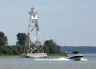
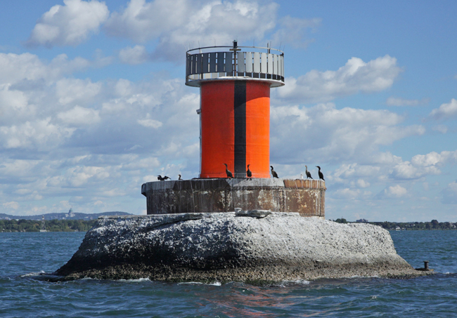
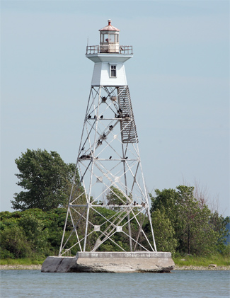
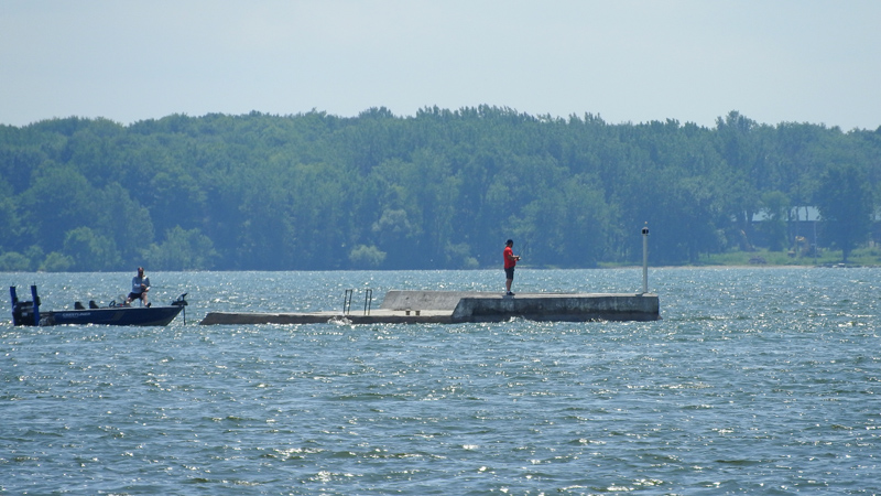
Photo Gallery
Photo Gallery
The following description of the new Dixie Range appeared in the Annual Report of the Lake Carriers Association for 1915:
On September 1, 1915, two fixed white catoptric range lights to be known as the Dixie Range Lights, were established at the lower end of Lake St. Louis to mark the axis of the ship channel between Windmill Point Gas Buoy No. 98S and Lightvessel No. 13.The range lights were erected by day labour under the supervision of J.D. Weir for $7,923.05. Albert LeBlanc was hired as keeper of the front range at an annual salary of $320, while Ed. Massie was paid the same amount to care for the rear light.Front Light: The front light is exhibited 40 feet above the water from an enclosed white wooden tower, octagonal in plan, surmounted by an octagonal lantern, standing on a concrete pier in 7 feet of water, 4,550 yards 250° 2 from Lachine Wharf Front Light.
The light illuminates an arc of 135° on each side of the range line. One the line of range a reflector throws a light of 30,000 candlepower, and outside the line of range, a light of 250 candlepower. The height of the structure from the deck of the pier to the top of ventilator is 33 feet.
Rear Light: The rear light is exhibited 83 feet above the water from a brown skeleton steel tower, square in plan, with sloping sides, surmounted by an enclosed wooden watch room and an octagonal iron lantern, erected in 4 feet of water, 125 yards northwestward of Dixie Island and 2,216 yards 50° 30 from the front light. The height of tower from its base to top of ventilator is 82 feet.
The light has a luminous power of 30,000 candles and is visible 10 miles on the line of range.
Illuminant is petroleum vapor burned under and incandescent mantel.
This is an important improvement, as it accurately defines the channel at the most intricate point in the navigation of Lake St. Louis. The Department of Public Works proposes next season to remove the points of any shoals that extend within 250 feet or 300 feet of the axis of the range on either side.
Dixie Range remains active today, showing quick-flashing green lights over Lake St. Louis. The front light is now displayed from a cylindrical tower rather than the original wooden, octagonal tower.
In July 2019, Scott Walbert reported that the skeletal tower used for the rear light was gone, and sent this photograph of what appears to be a sector light mounted on the concrete foundation. The Canadian Coast Guard confirmed that the rear range light had been dismantled in July 2019 and a warning light placed on its pier. A sector light replaced Dixie Front Range Light in August 2018 and is known officially as Dixie Sector Light.
Head Keepers:
References