Rouse Point, NS 
Select a photograph to view a photo gallery
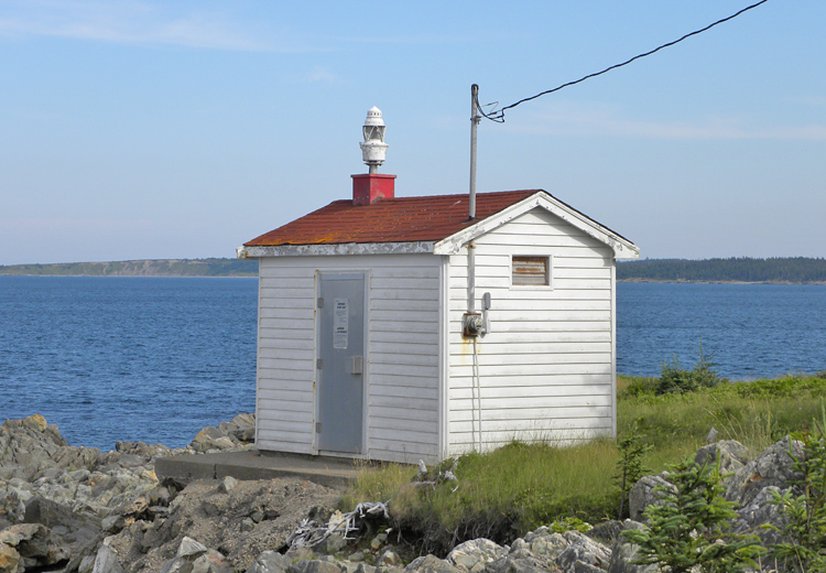
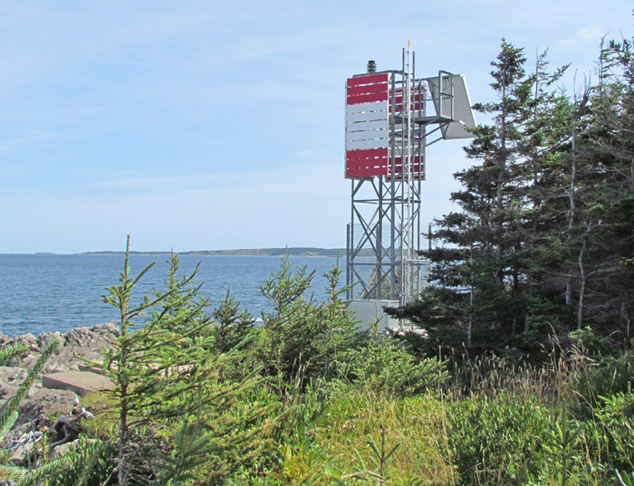
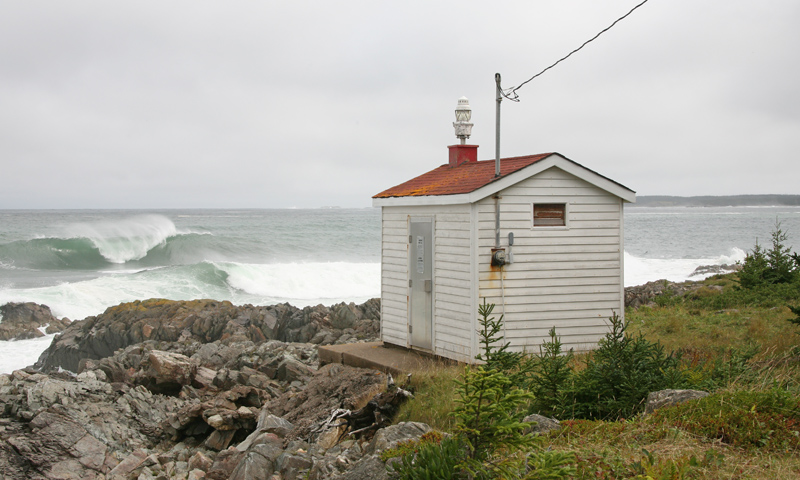
Photo Gallery


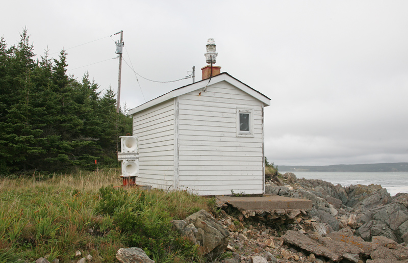

Photo Gallery
Photo Gallery
In 1978, around forty fishermen, representing twenty-eights boats in the area, petitioned for a foghorn to be established on Rouse Point. After four years of lobbying, a rectangular building was finally constructed atop a concrete foundation on the point. A 200-mm gas lantern fitted with an electric light was mounted atop the small building, which housed a fog detector for activating a bank of horns located nearby. The new equipment was damaged the next year when a severe storm washed away much of the bank under the building.
Mariners were notified that the station would be permanently discontinued at the end of the season in December, but the president of the Fishermans Association protested this decision, and the light and foghorn were back in operation at the beginning of the next season.
The foghorn, which gave two three-second blasts each minute, was discontinued in 2013. A square skeletal tower, with red-and-white dayboards, was placed on Rouse Point in 2015, and the rectangular building was removed. The characteristic of the solar-powered light displayed from the skeletal tower is a long yellow flash every six seconds.
References