Annapolis, NS 
Select a photograph to view a photo gallery


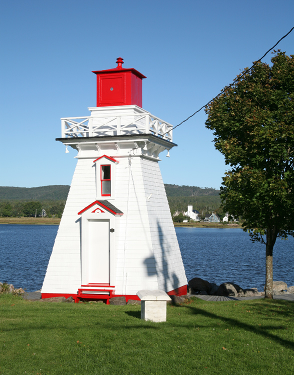
Photo Gallery
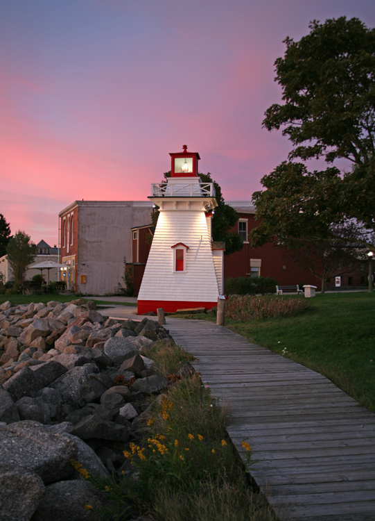
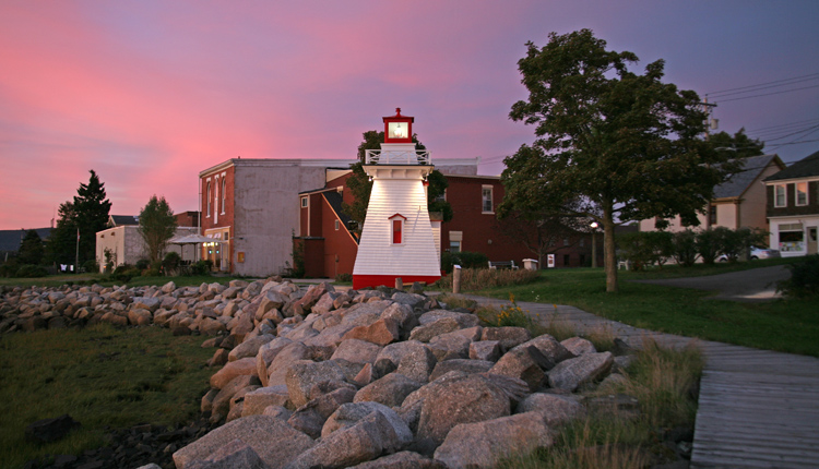


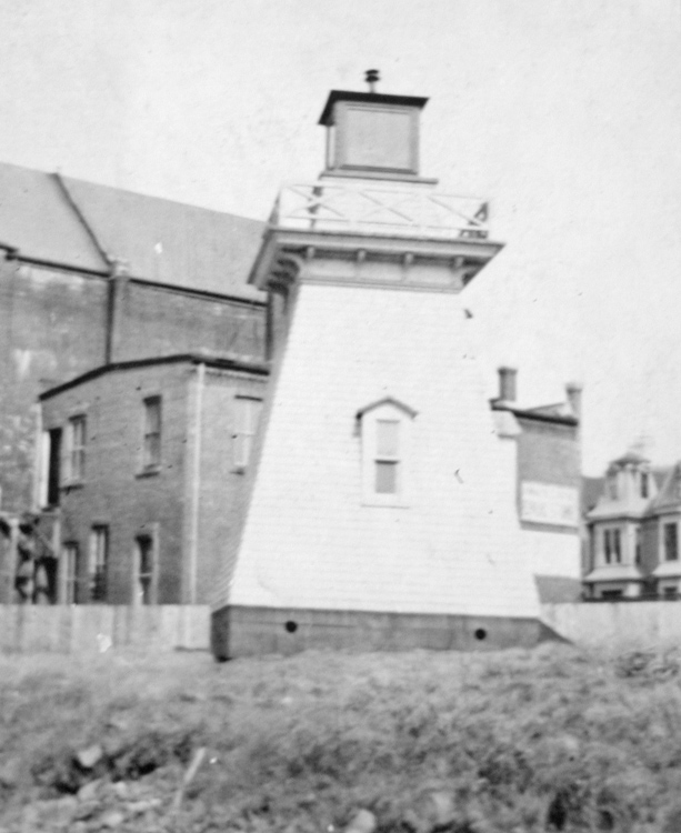
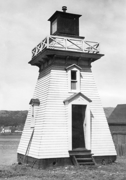
Photo Gallery
Photo Gallery
|
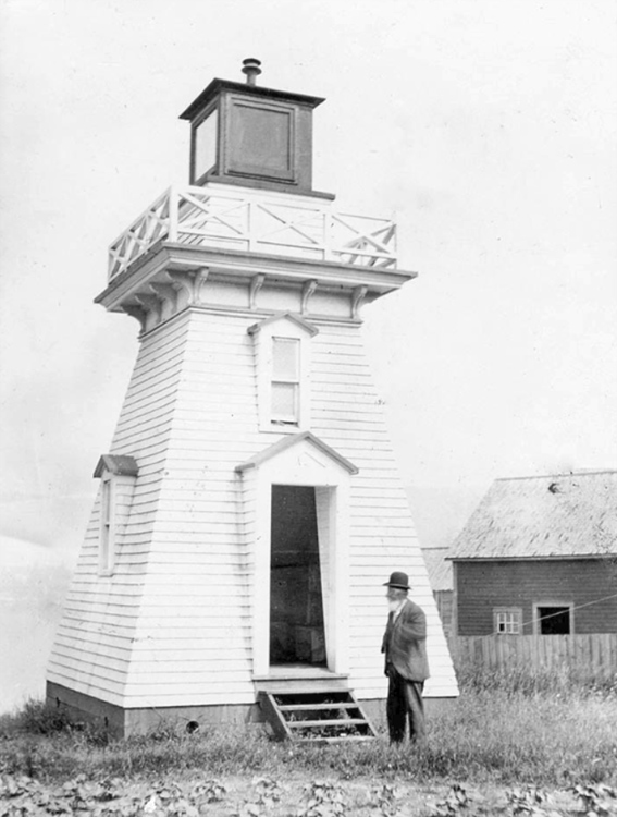
The lighthouse is a white wooden pepper-shaker-style tower style standing 8.5 meters tall with a red lantern room and a fixed light. Michael Riordan served as the first keeper of Annapolis Royal Lighthouse. In 1892, Simon Riley took charge of the lighthouse and remained at the post until 1908.
In former days, the Annapolis waterfront was quite busy with the steamer City of Monticello providing passenger service to Saint John, New Brunswick and the Windsor and Annapolis Railway servicing a wharf in the harbour. Annapolis Royal served as the capital of Nova Scotia until Halifax was founded in 1749, which explains why so many heritage buildings exist in the town.
Vessels used to sail farther up the Annapolis River, but this is no longer possible due to the Annapolis Royal Tidal Power Generating Station that was completed in 1984.
Annapolis Royal Lighthouse has been owned by The Historical Association of Annapolis Royal since 2004 and serves as the headquarters for their award-winning National Historic District and Acadian Heritage tours. The association entered the lighthouse in the This Lighthouse Matters Contest in 2015, and, with 27,048 votes, the lighthouse beat out 26 other lighthouses to take the $40,000 aware for first place. Using this money, the lighthouse was thoroughly restored in 2016
Keepers: Michael Riordan (1889 1892), Simon W. Riley (1892 1908), James McMillan (1908 1913), Thomas Milledge (1912), T.M. Gavaza (1914 1922), F.B. Arnaud (1922 at least 1923).
References