Pointe à Brideau Range Rear, NB 
Select a photograph to view a photo gallery
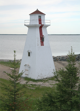
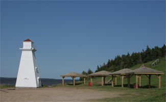
Photo Gallery


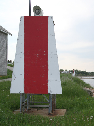
Photo Gallery
Photo Gallery
The towns work to improve a Coast Guard tower is similar to what was done at Campbellton in 1985, only the tower in Caraquet is a more accurate representation of a Canadian lighthouse. The Town of Caraquet is responsible for the maintenance of the wooden shell, while the Coast Guard looks after the navigational aid inside.