Belyeas Point, NB 
Select a photograph to view a photo gallery


Photo Gallery
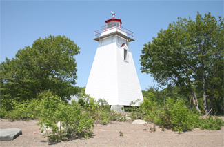
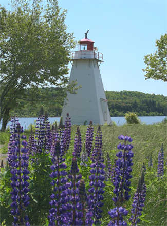


Photo Gallery
Photo Gallery
Belyeas Point is situated at the southern end of Long Reach, a wide, straight stretch of the Saint John River that runs along the west side of the Kingston Peninsula. In 1881, Parliament appropriated $800 for the erection of a light at Belyeas Point, tenders were called for, and a $395 contract for the construction of the tower was awarded to Saunders Clark of Carleton.
|
The light is fixed white with an illuminating dioptric apparatus of the 6th order; is elevated 40 feet above water mark and should be visible 11 miles from all points of approach. The tower, which stands upon a small timber crib, is a square wooden building painted white, and 36 feet high from the pier to the vane on the lantern. The lighthouse is situated on the extreme point near the waters edge, on the west side of the river, and the light is for the purpose of guiding vessels clear of Purdys Shoal on the opposite side of the river, and for the general purposes of navigation.
A decade after the lighthouse was built, the Annual Report noted that the inside and outside of the tower were painted from top to bottom, the block and tower were in good order, and the interior was clean and well kept.
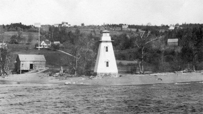
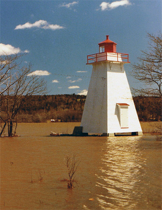
As seen in a photograph to the left, Belyeas Point is prone to flooding. Severe flooding damaged the original lighthouse in the 1930s, leading to the tower being rebuilt and relocated from its original position lower on the shore. Even resting atop pylons on more elevated terrain, the new Belyeas Point Lighthouse has been damaged by the spring freshet several times over the years.
Keepers: Spafford Barker Belyea (1882 1899), Westfield A. Day (1899 1906), Mrs. Westfield A. Day (1906 at least 1923).
References
