McColgan Point, NB 
Select a photograph to view a photo gallery


Photo Gallery
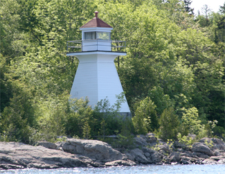
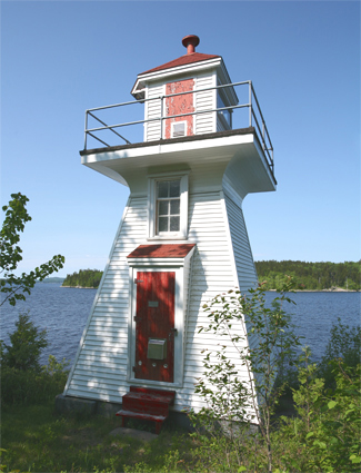
Photo Gallery
Photo Gallery
A good view of the lighthouse can be had from the Kennebecasis Island Ferry.
Keepers: Samuel McColgan (1913 at least 1923).
References